
Mystery winds hit west of Isaias center
Gusts near 120 mph in Escambia and Santa Rosa counties may indicate a rare atmospheric feature, though the National Hurricane Center has not confirmed it.
By Samuel Peterson ·
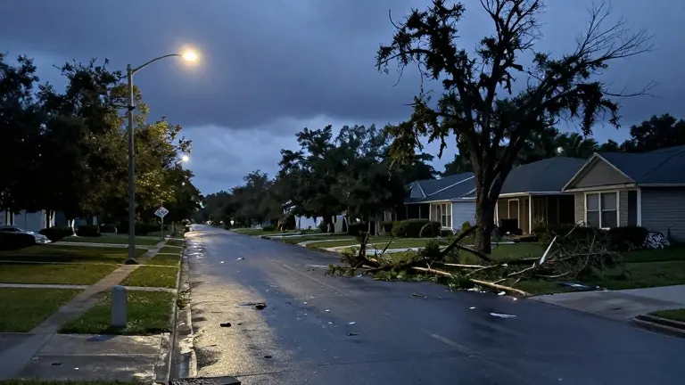
Hurricane Isaias struck Florida’s Panhandle as a Category 2 storm on October 31, 2026, producing wind patterns that defied standard expectations. While typical hurricane damage concentrates near the eye, the most severe destruction from Isaias occurred west of the storm’s center. Residents in parts of Escambia and Santa Rosa counties reported gusts approaching 120 mph, a finding that has puzzled local meteorologists.
The unusual distribution of high winds around Pensacola and Gulf Breeze has led researchers to examine a rare atmospheric phenomenon known as a sting jet. Sting jets usually form within powerful non-tropical systems and generate a narrow corridor of destructive winds that plunge toward the ground. The feature gets its name from a cloud pattern that resembles a scorpion’s tail. Its presence in a tropical system like Isaias is uncommon.
Leslie Hudson, a meteorologist with Florida Storms, noted that the wind behavior during Isaias provides scientists with unexpected data to analyze. The National Hurricane Center has not yet confirmed the presence of a sting jet. Meteorologists are currently investigating whether the specific atmospheric conditions met the criteria for this rare event.
Identifying sting jets remains difficult even after a storm has passed. Scientists rely on radar data, satellite imagery, surface observations, and computer models to reconstruct the internal dynamics of such systems. Post-season analysis will be required to determine if Isaias truly contained a sting jet. The investigation continues as experts review the available data.
Regardless of the final classification, the event demonstrated that the most dangerous winds in a hurricane do not always appear in the locations where forecasters typically expect them. The specific wind speeds recorded in the western sectors of the storm’s path highlight the variability of hurricane impacts. Local agencies are reviewing the damage reports to assess the full extent of the anomaly.
Source: WMNF · original report published
More News · Clearwater news · Report a business · Got a Story?